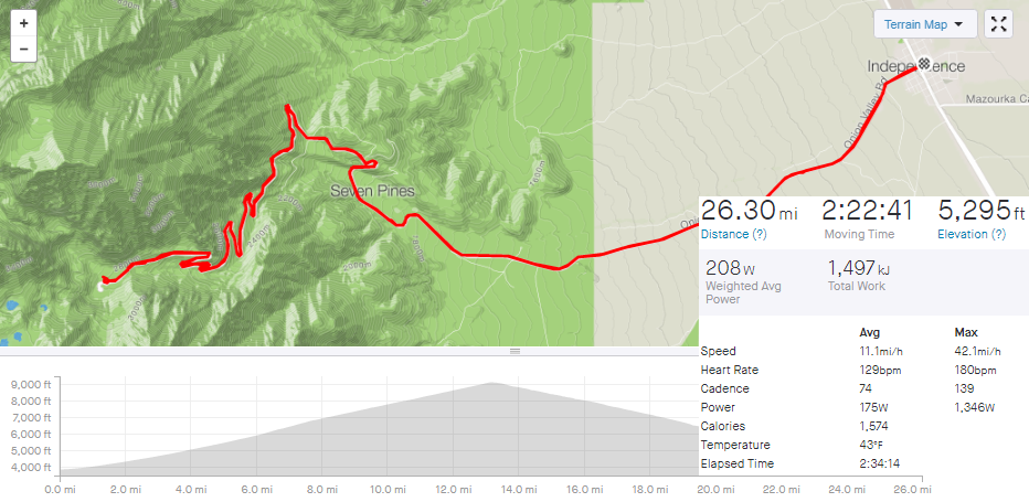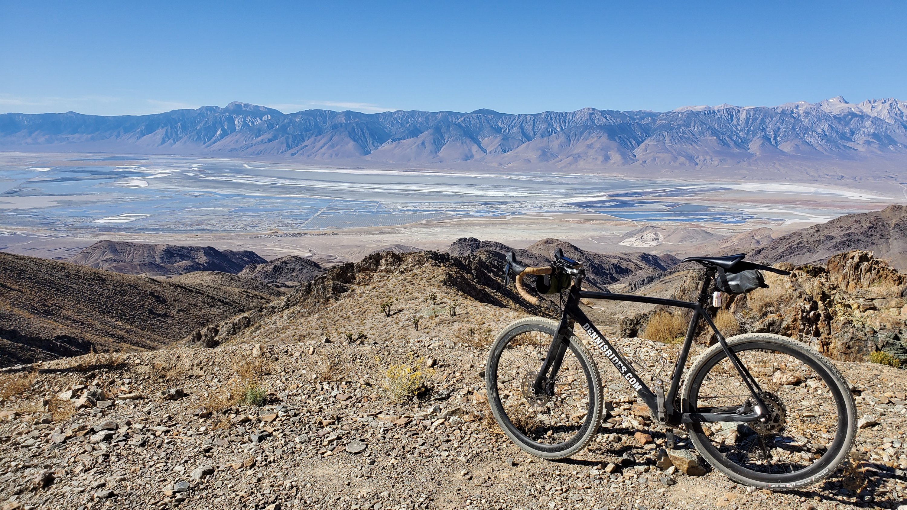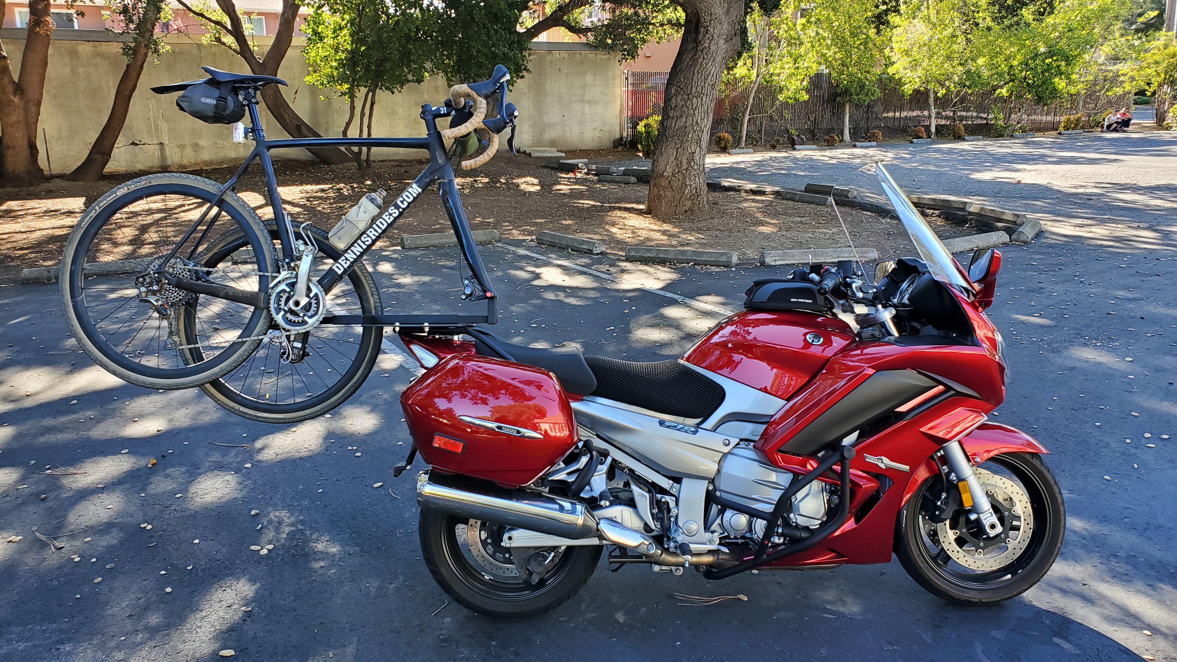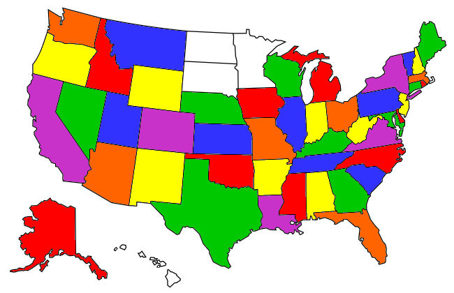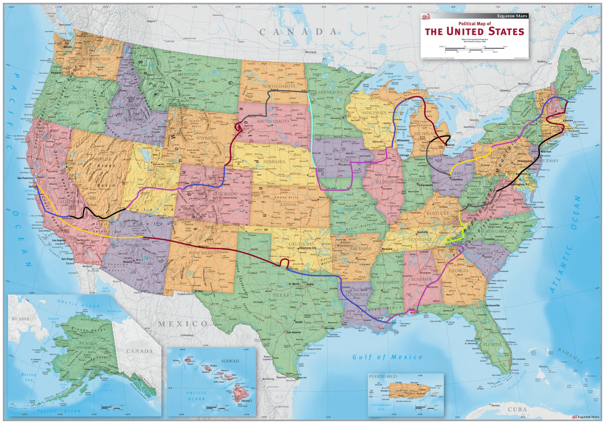

Above is loosely the route I took, you’ll note I actually rode in 44 of 48 states, but I’ve ridden OR/WA/ID/MT plenty of times before, so I figured those are covered. And yes, at some point I will rent a motorcycle in Hawaii so I can say I did all 50 states.

Individual posts:
48 States: Motorcycling Time
48 States: Day 1 and Day 2, Flagstaff AZ & Wichita Falls, TX
48 States: Day 3: Texarkana & Louisiana
48 States: Day 3.5, Crawfish Interlude
48 States: Day 4 & 5, Robbinsville North Carolina
48 States: Day 6, Deal’s Gap, North Carolina & Tennessee
48 States: Day 7, Virginia is for Mowers
48 States: Day 8, Providence Rhode Island
48 States: Day 9, Portland Maine
48 States: Day 10 & 11, still Portland Maine
48 States: Day 12, Saratoga Springs New York
48 States: Day 13, Kane Pennsylvania
48 States: Day 14, Columbus Ohio
48 States: Day 15, Lansing Michigan
48 States: Day 16, Roseville Michigan
48 States: Day 17, Manistique Michigan
48 States: Day 18 & 19, Lake Geneva Wisconsin
48 States: Day 20 & 21, Omaha Nebraska
48 States: Day 22, Fargo North Dakota
48 States: Day 23, Fargo North Dakota Day 2
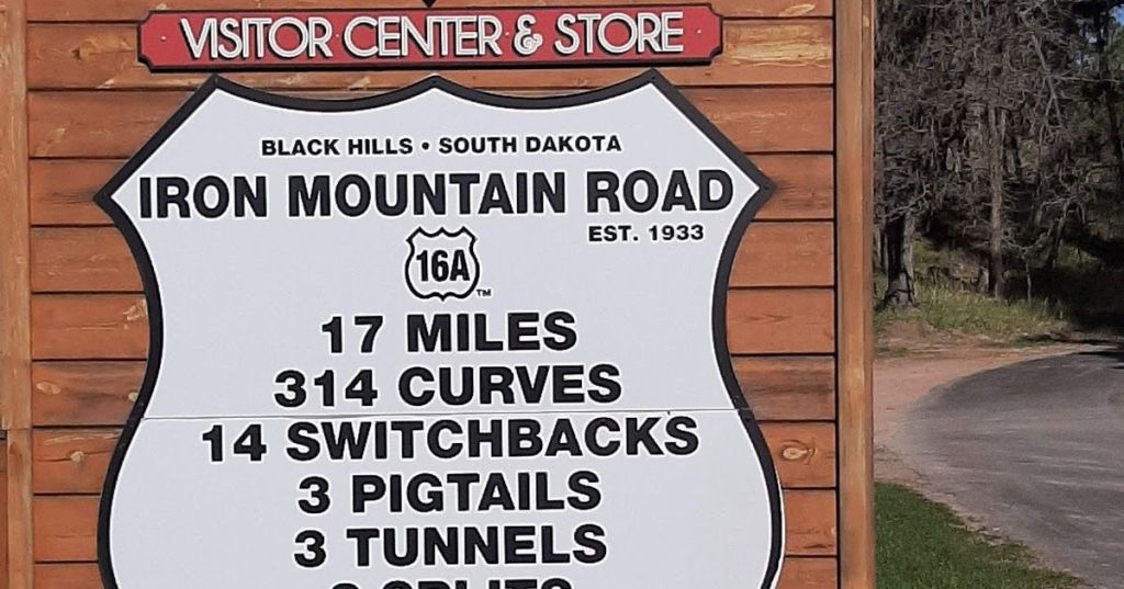
48 States: Day 24, Sturgis South Dakota
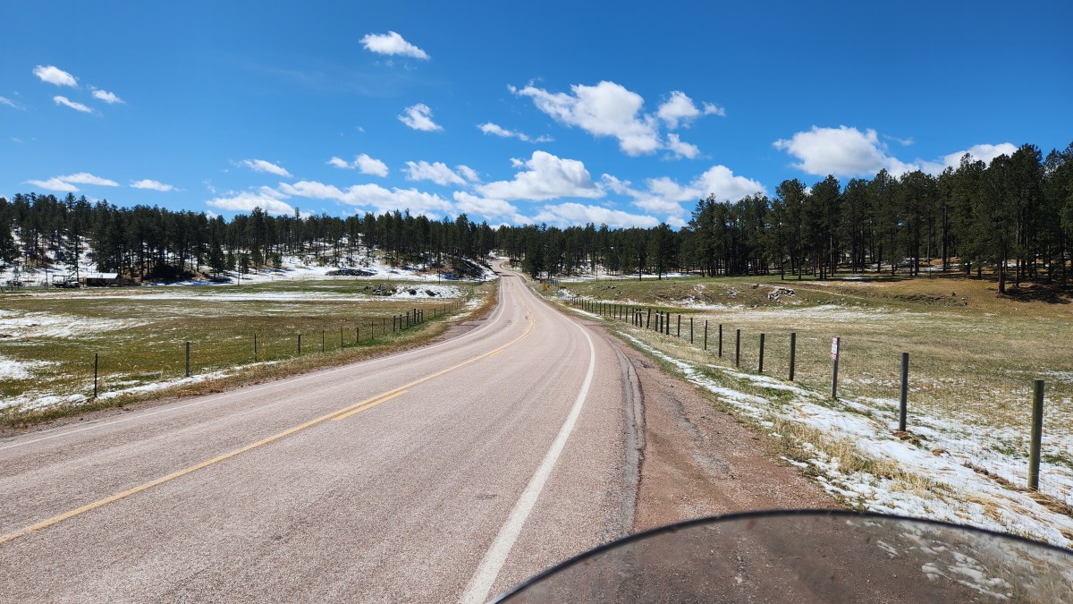
48 States: Day 25, Black Hills & Cheyenne Wyoming
48 States: Day 26, Grand Junction Colorado
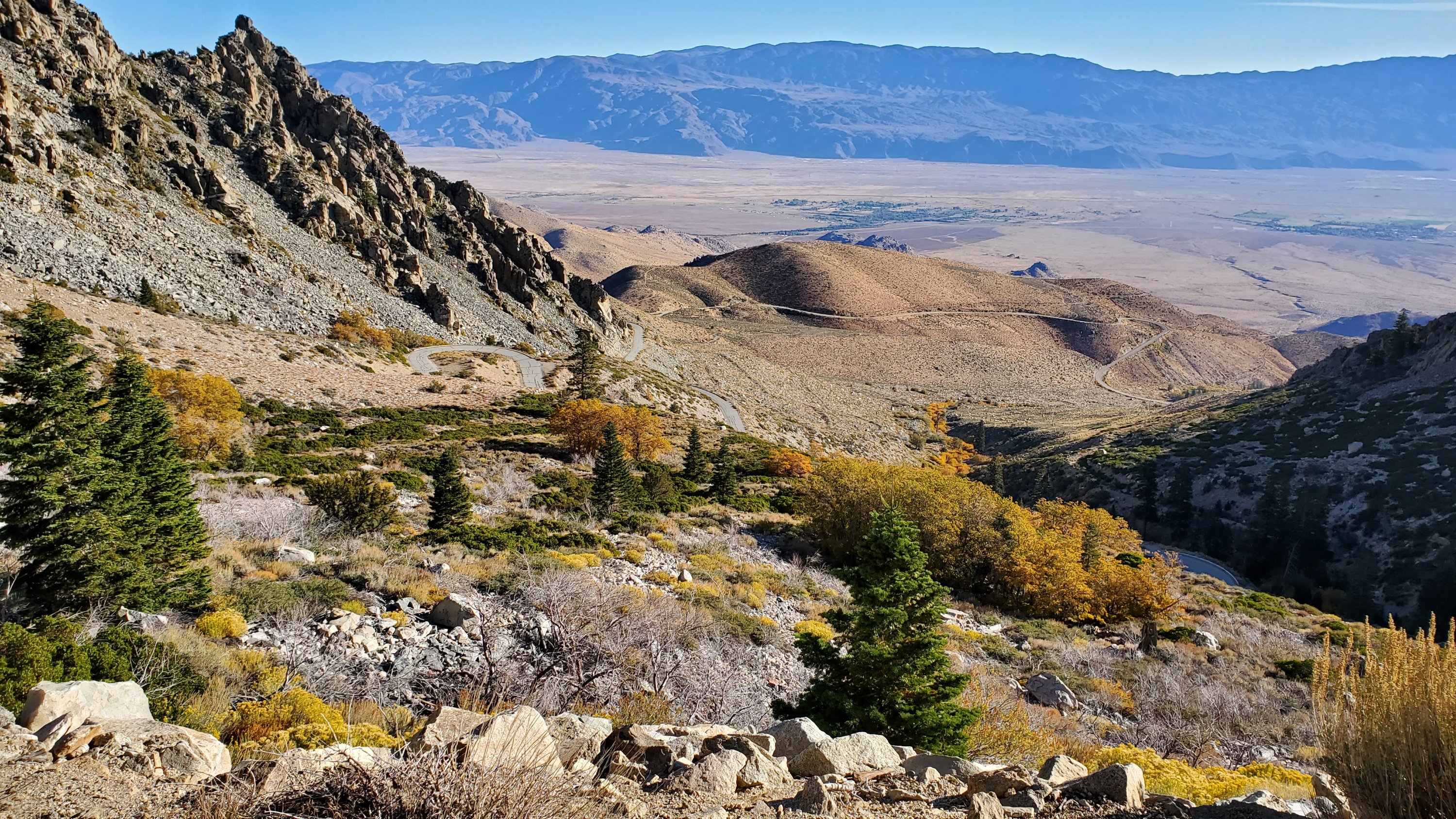
48 States: Day 27, St George Utah
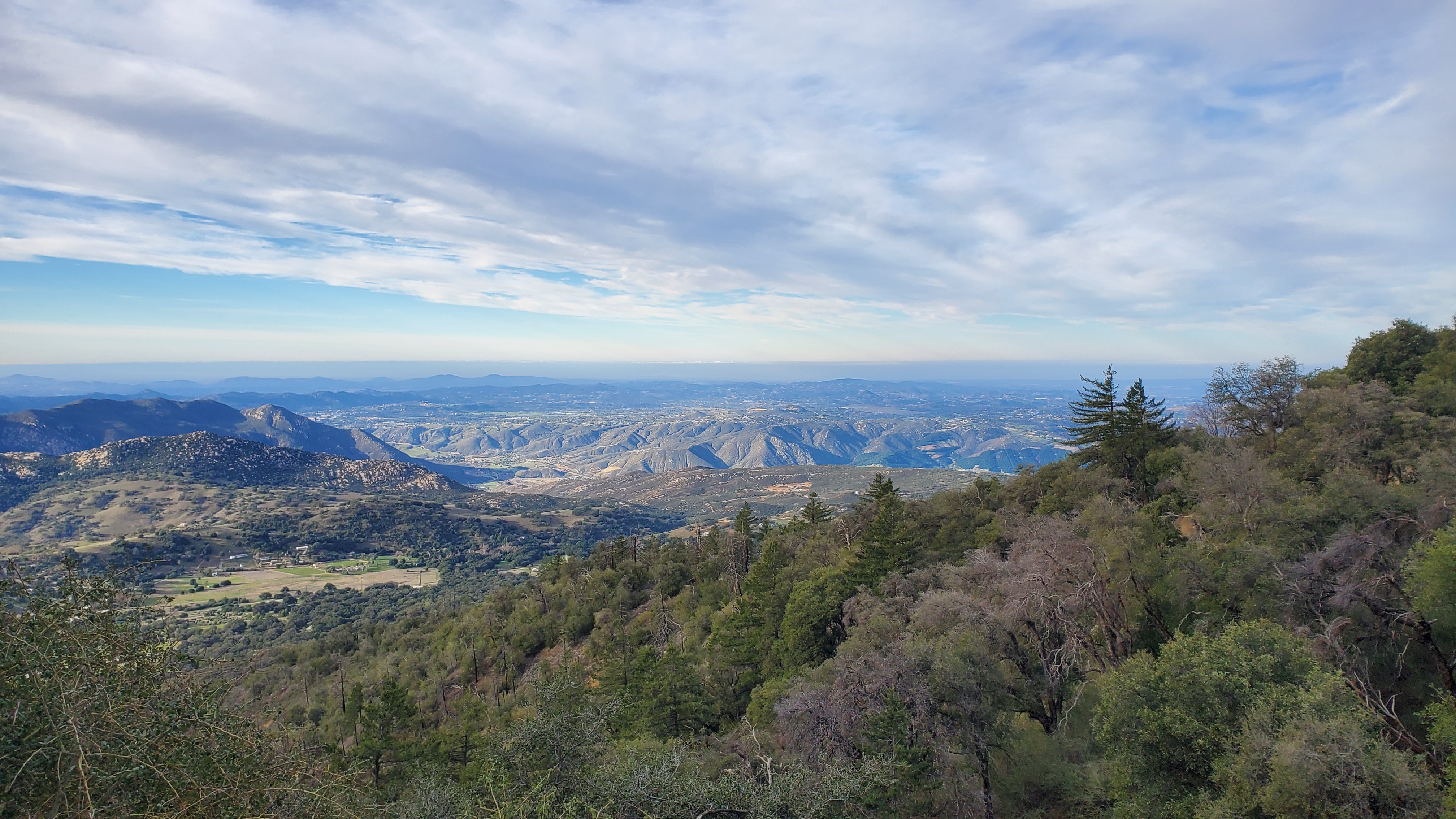
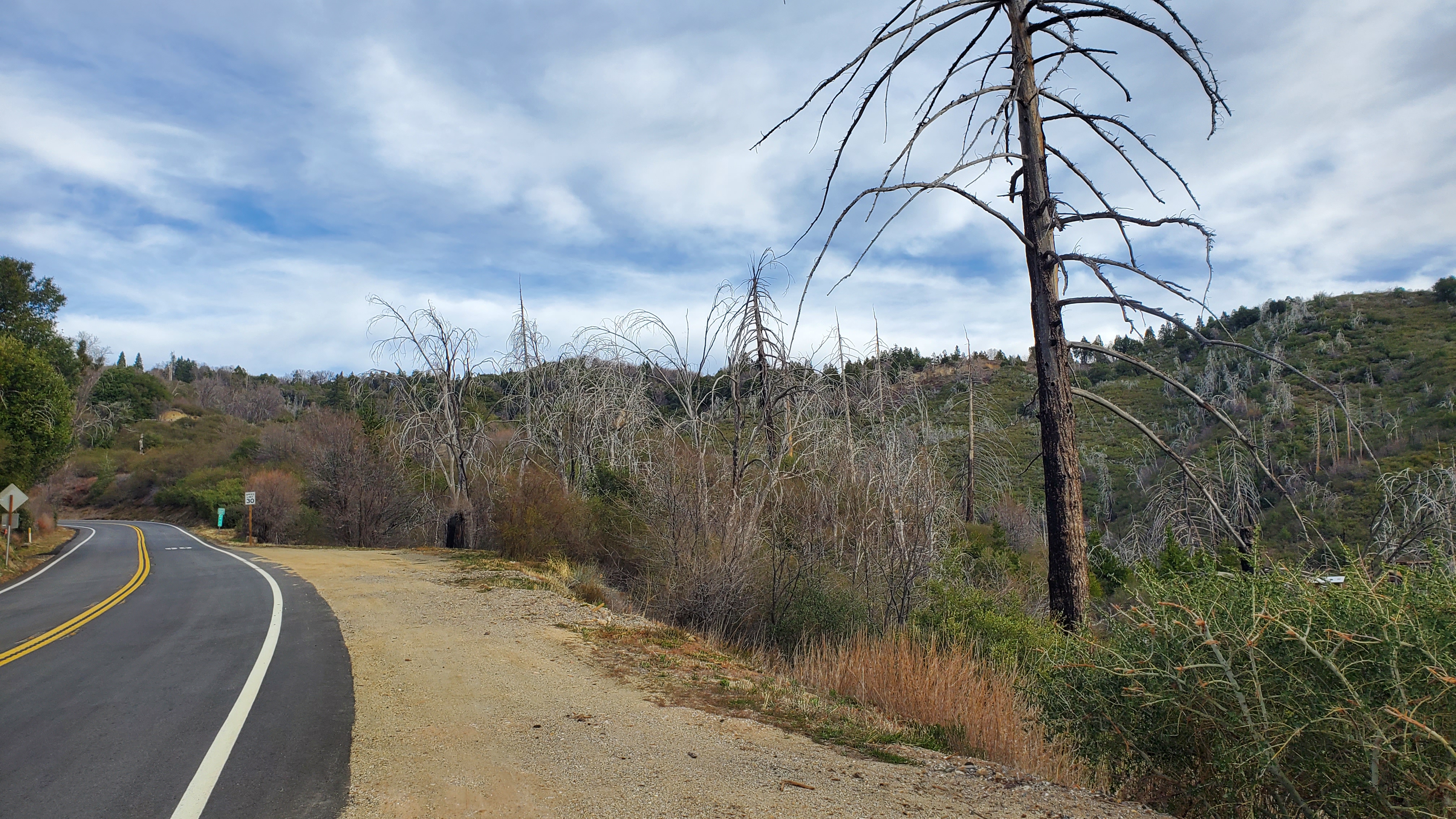
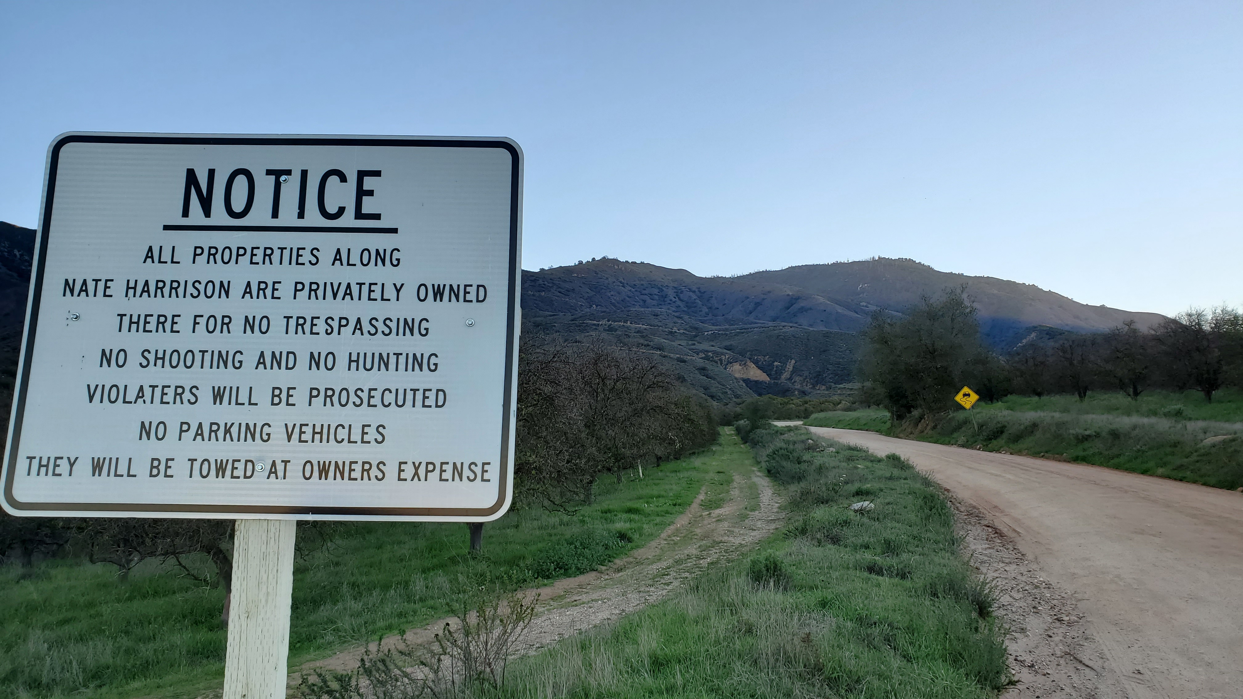
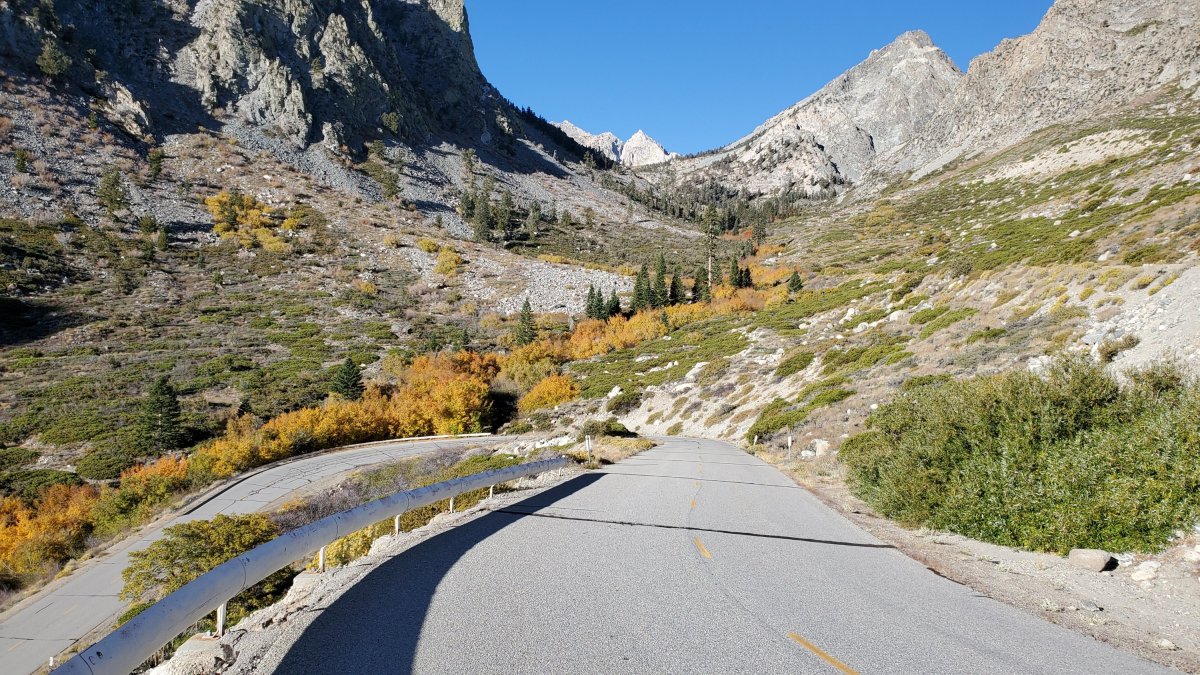
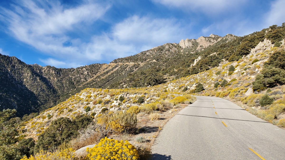
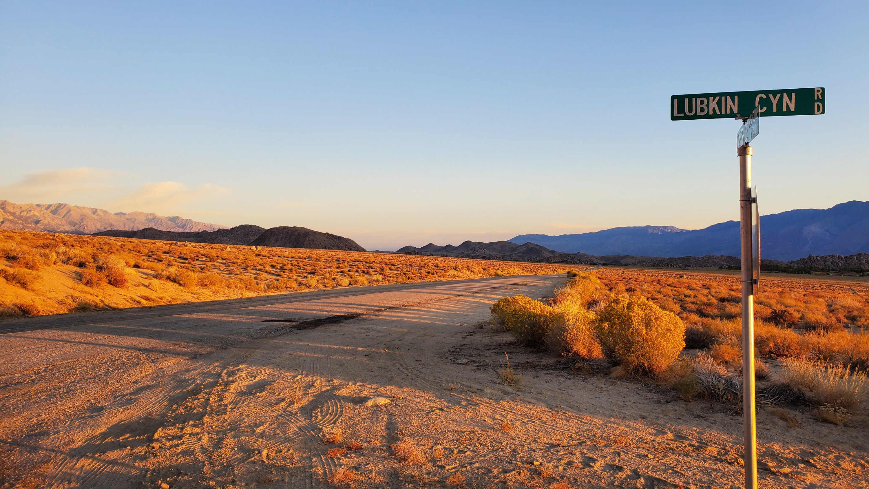
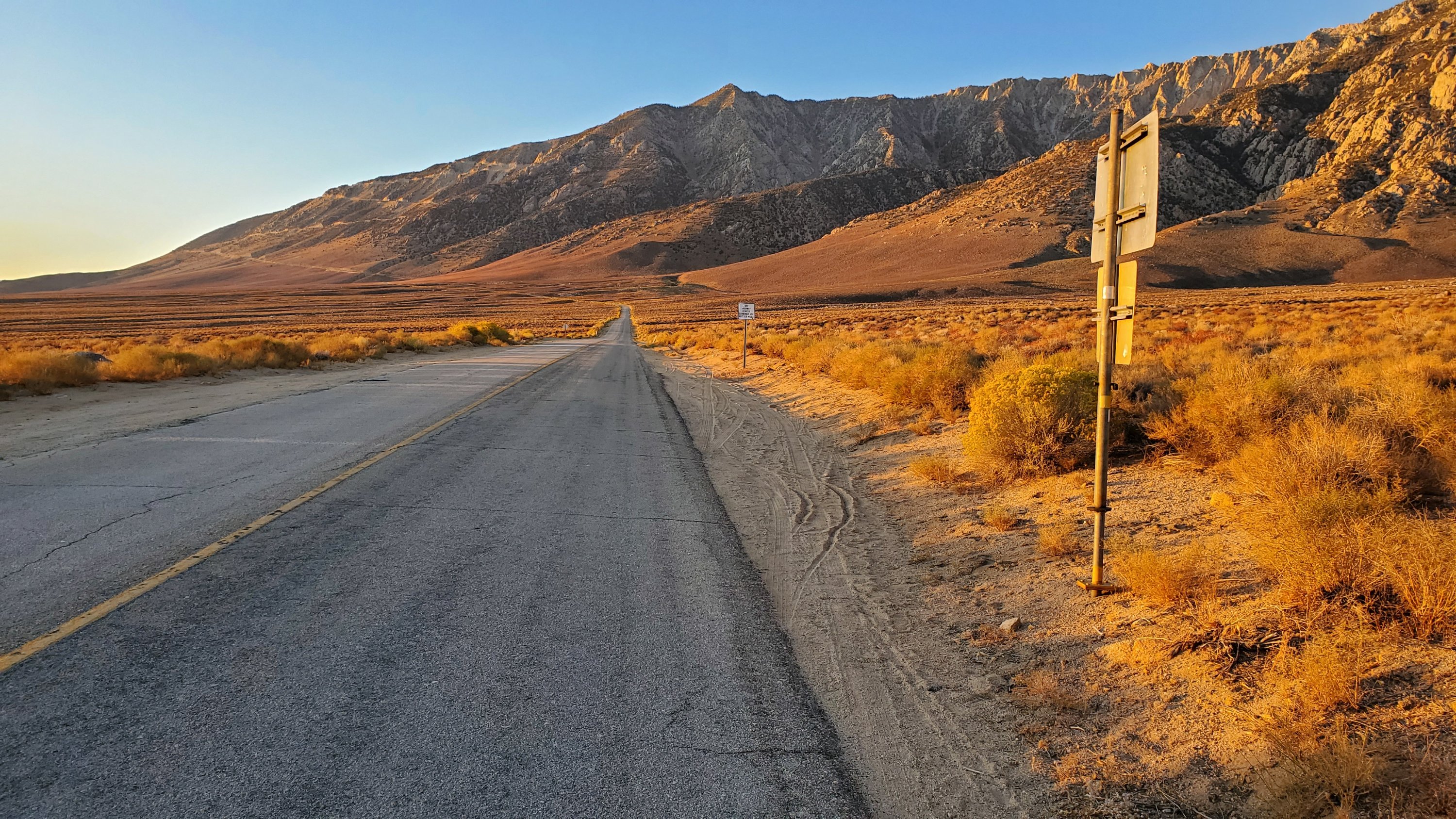
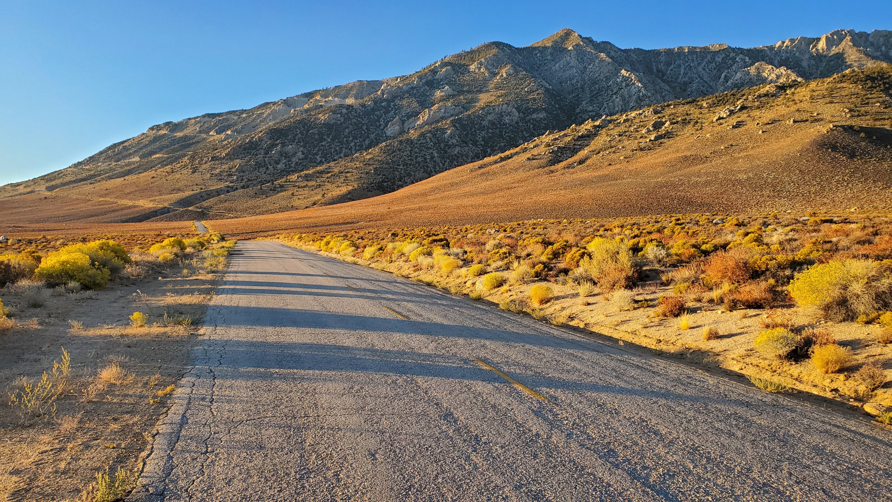
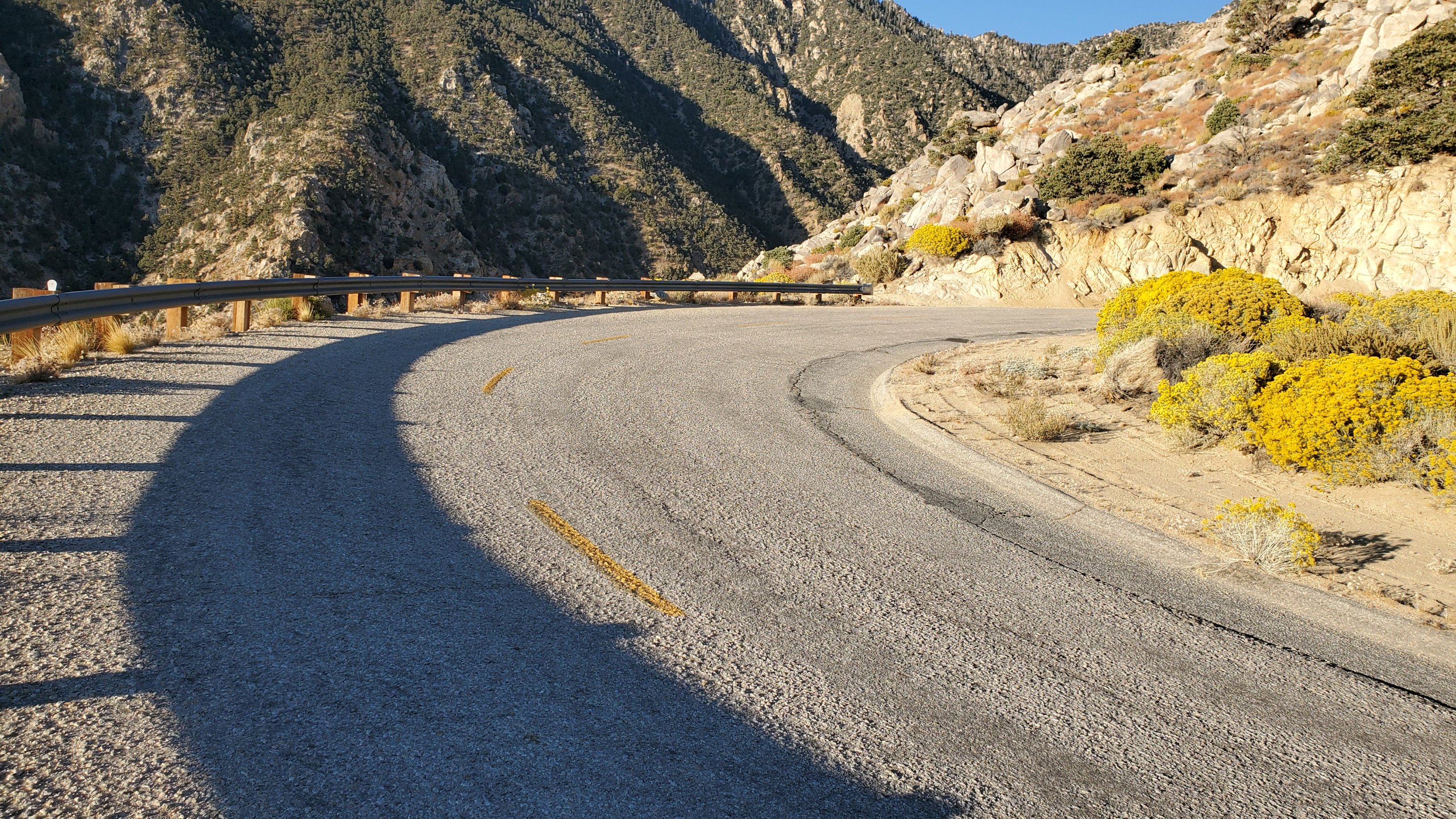
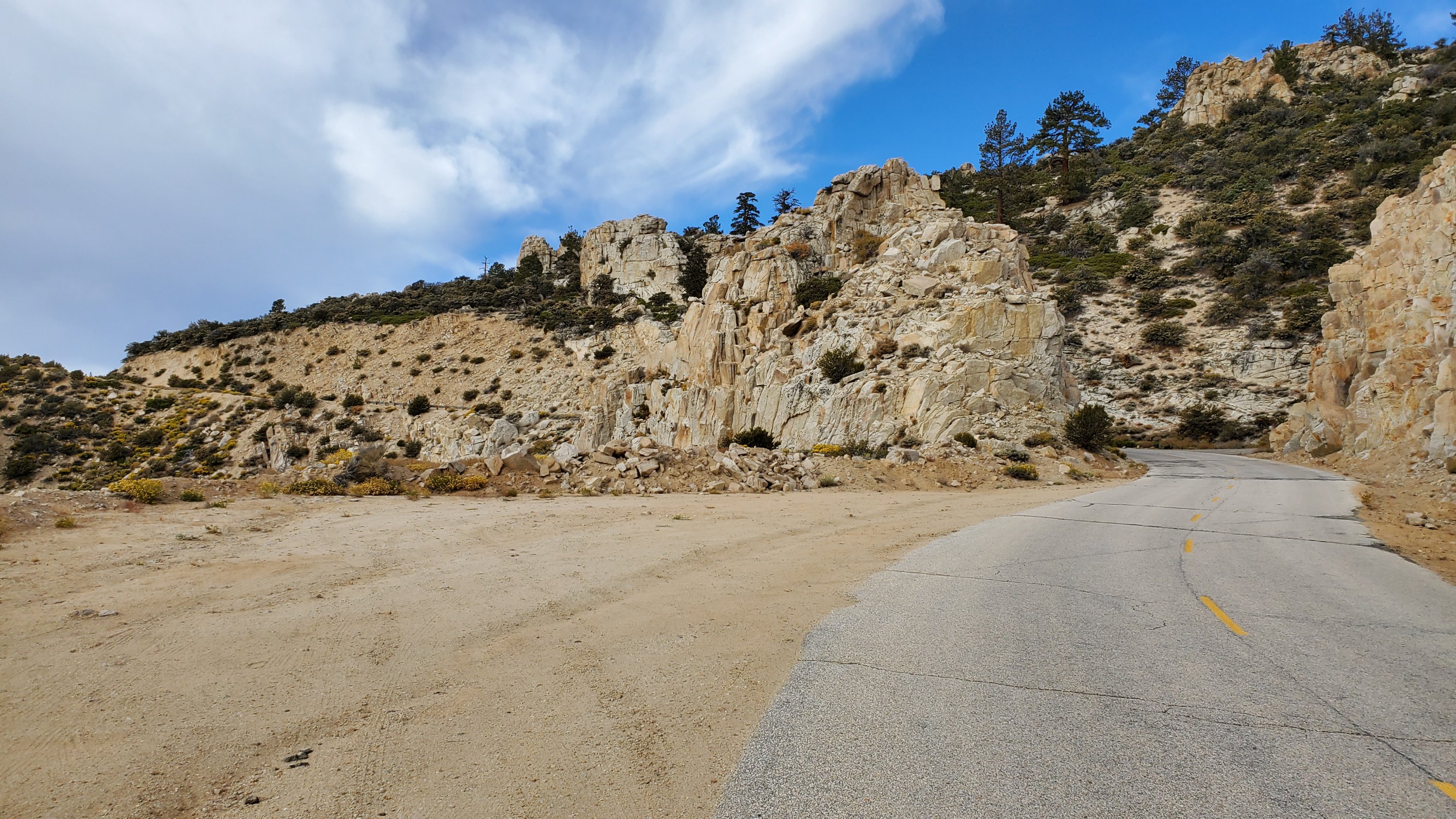
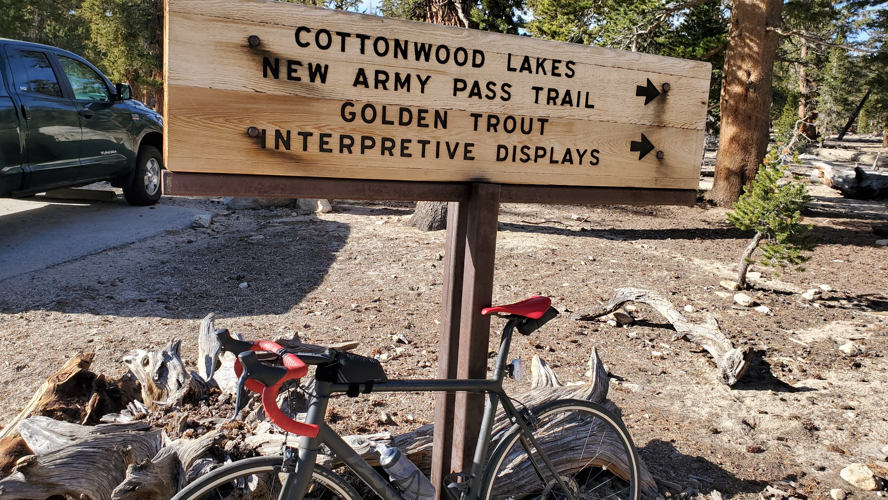
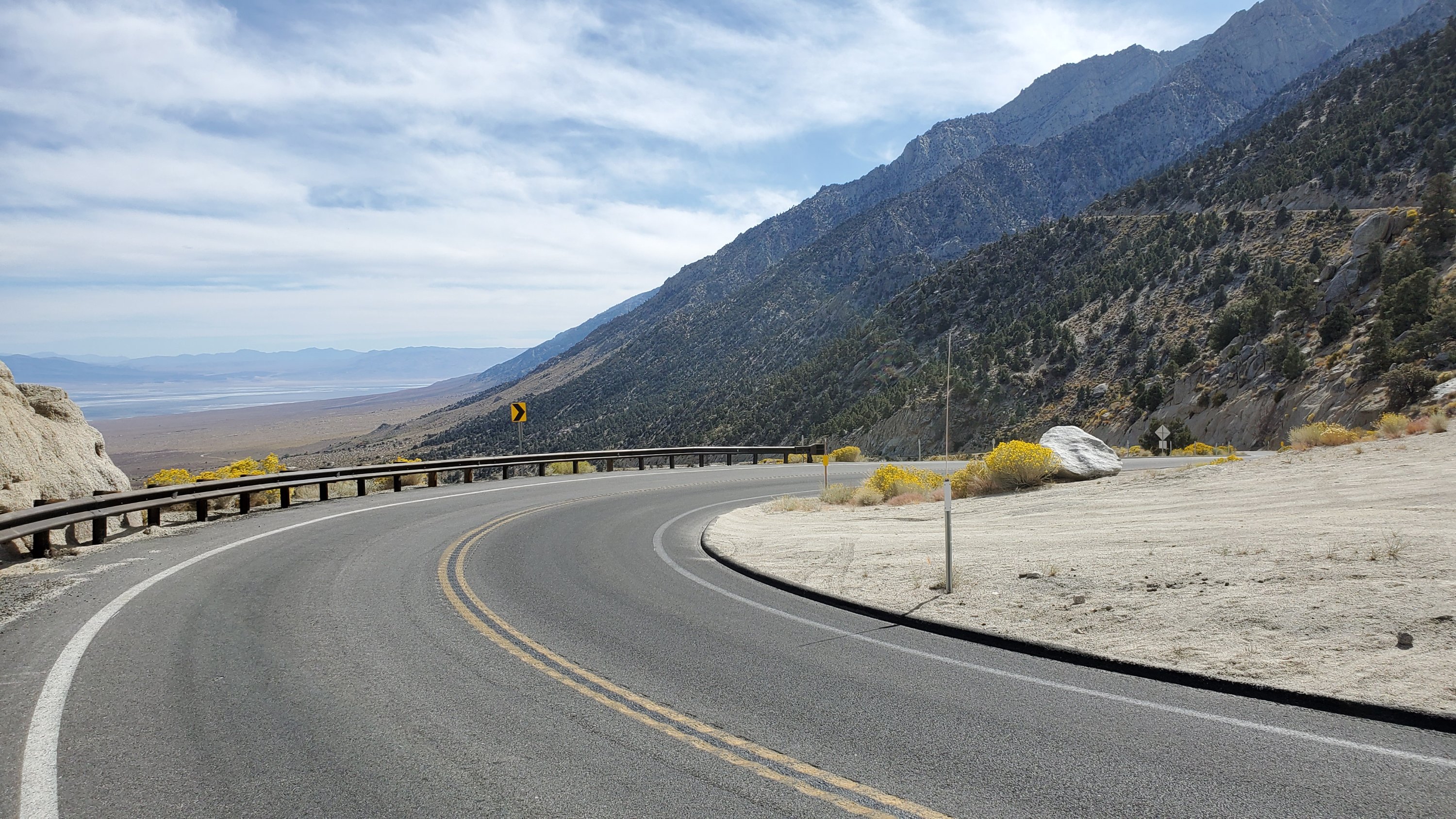
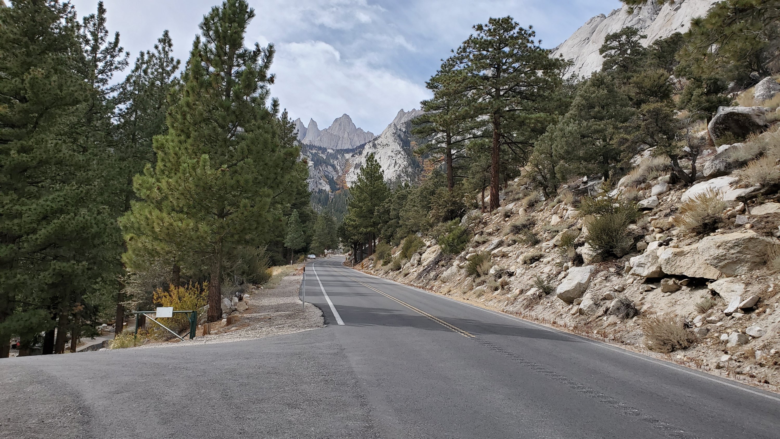
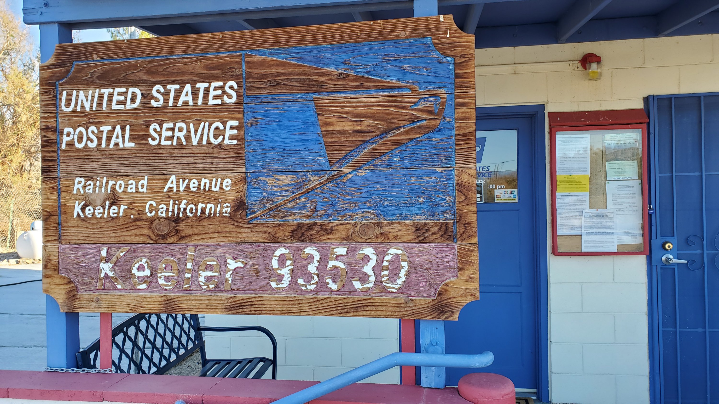
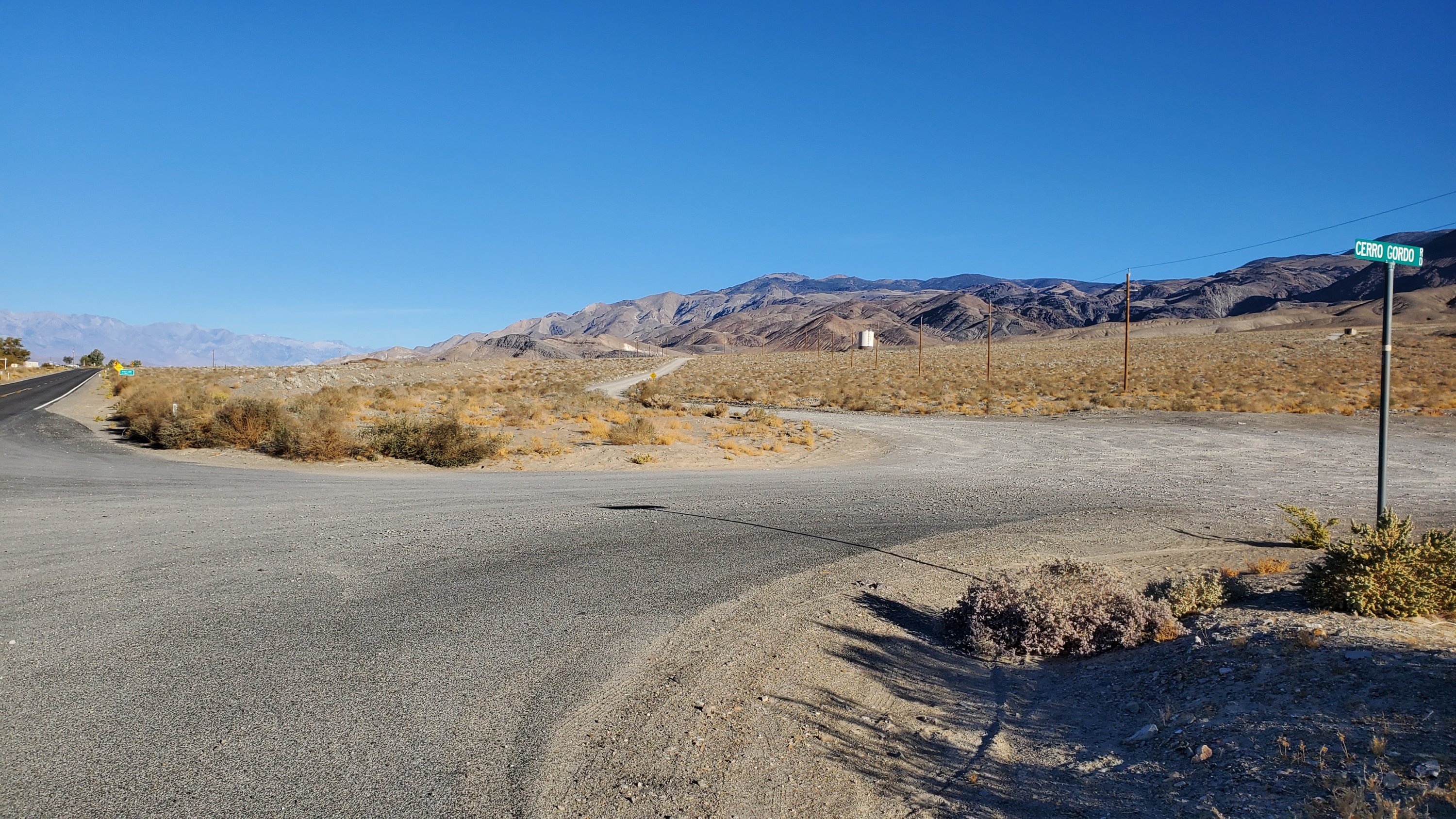
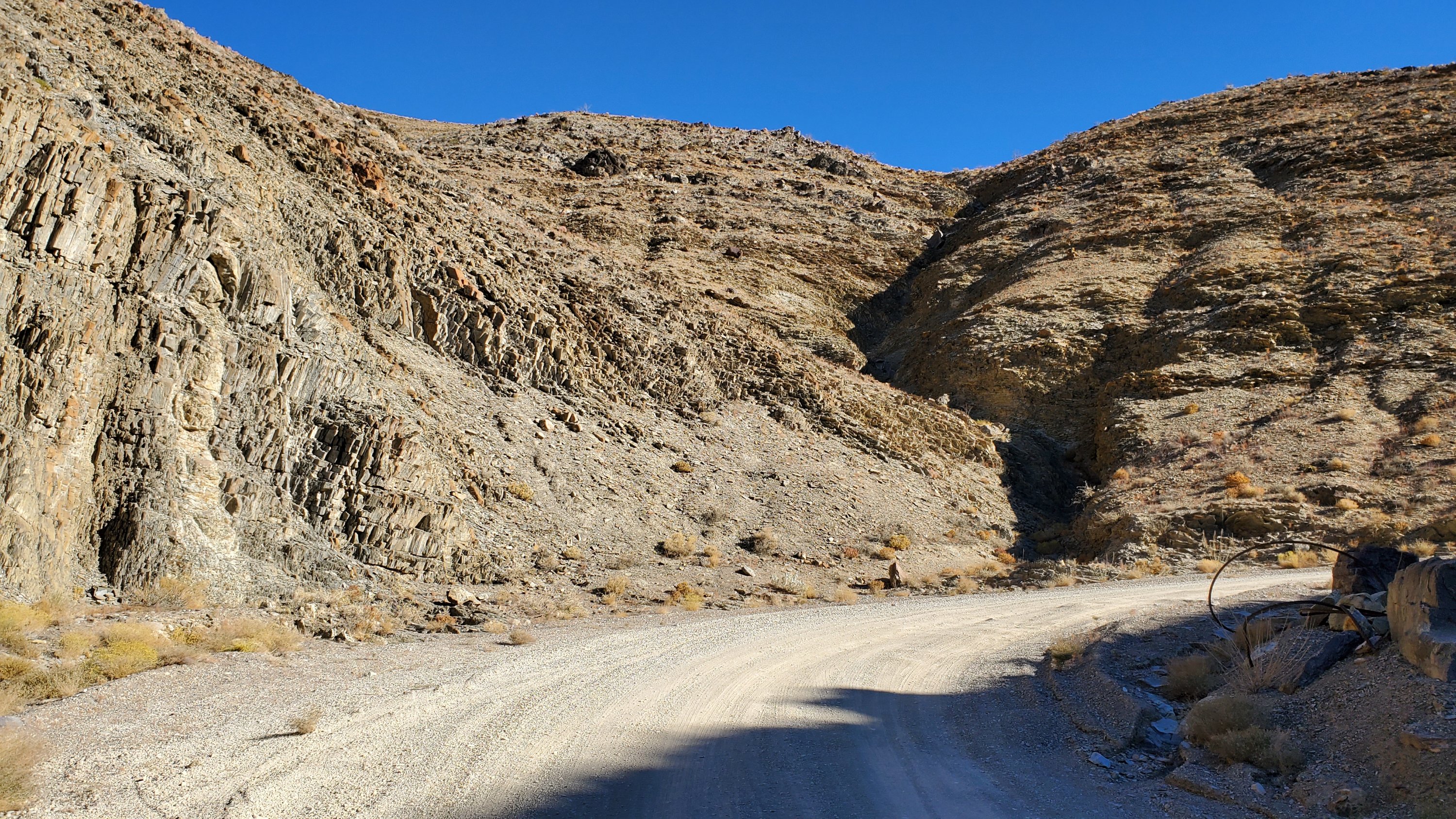
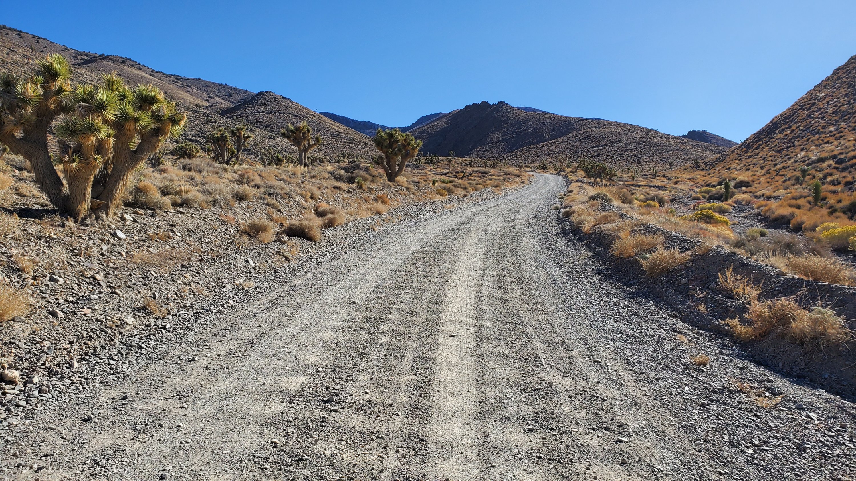
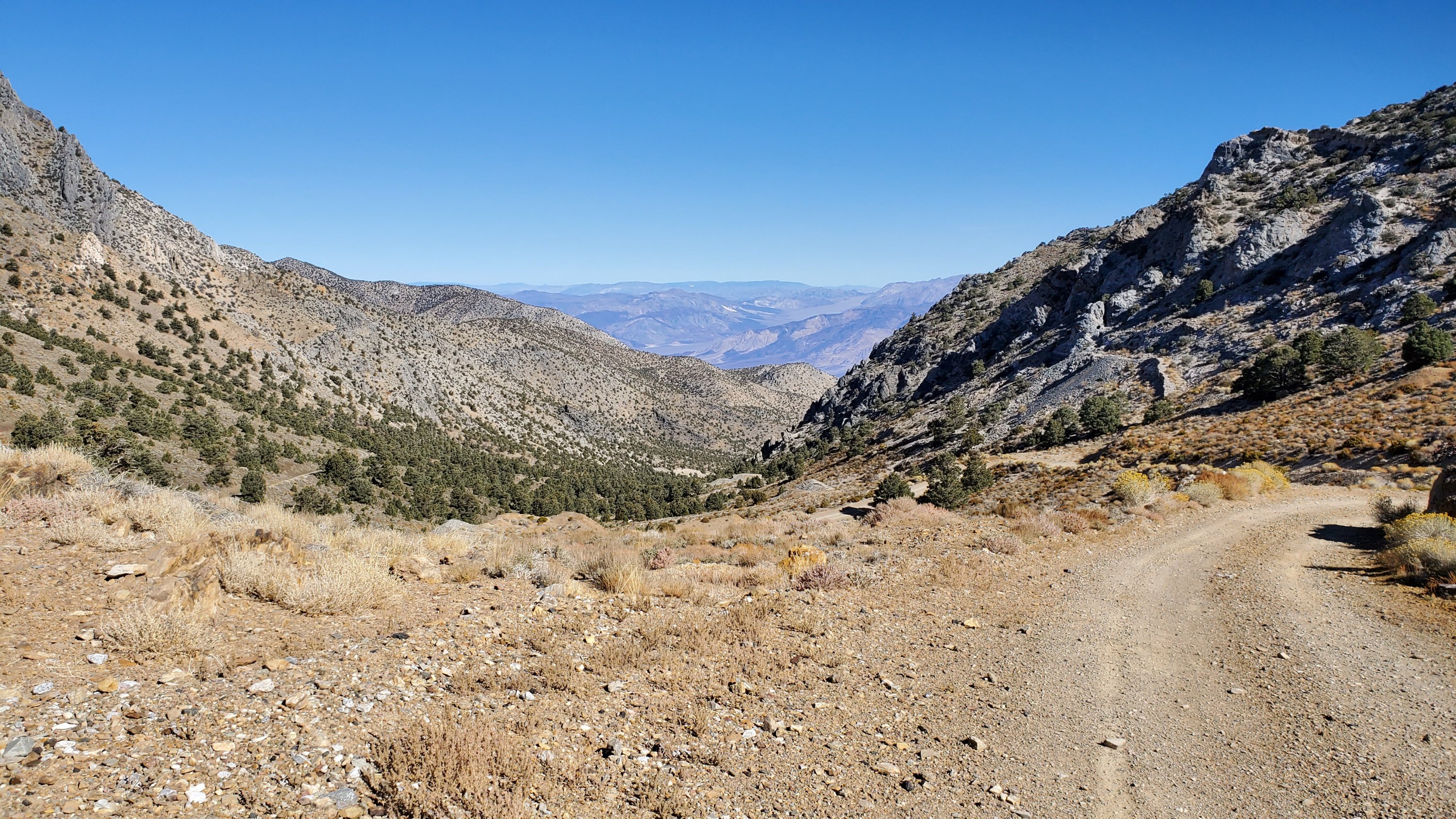
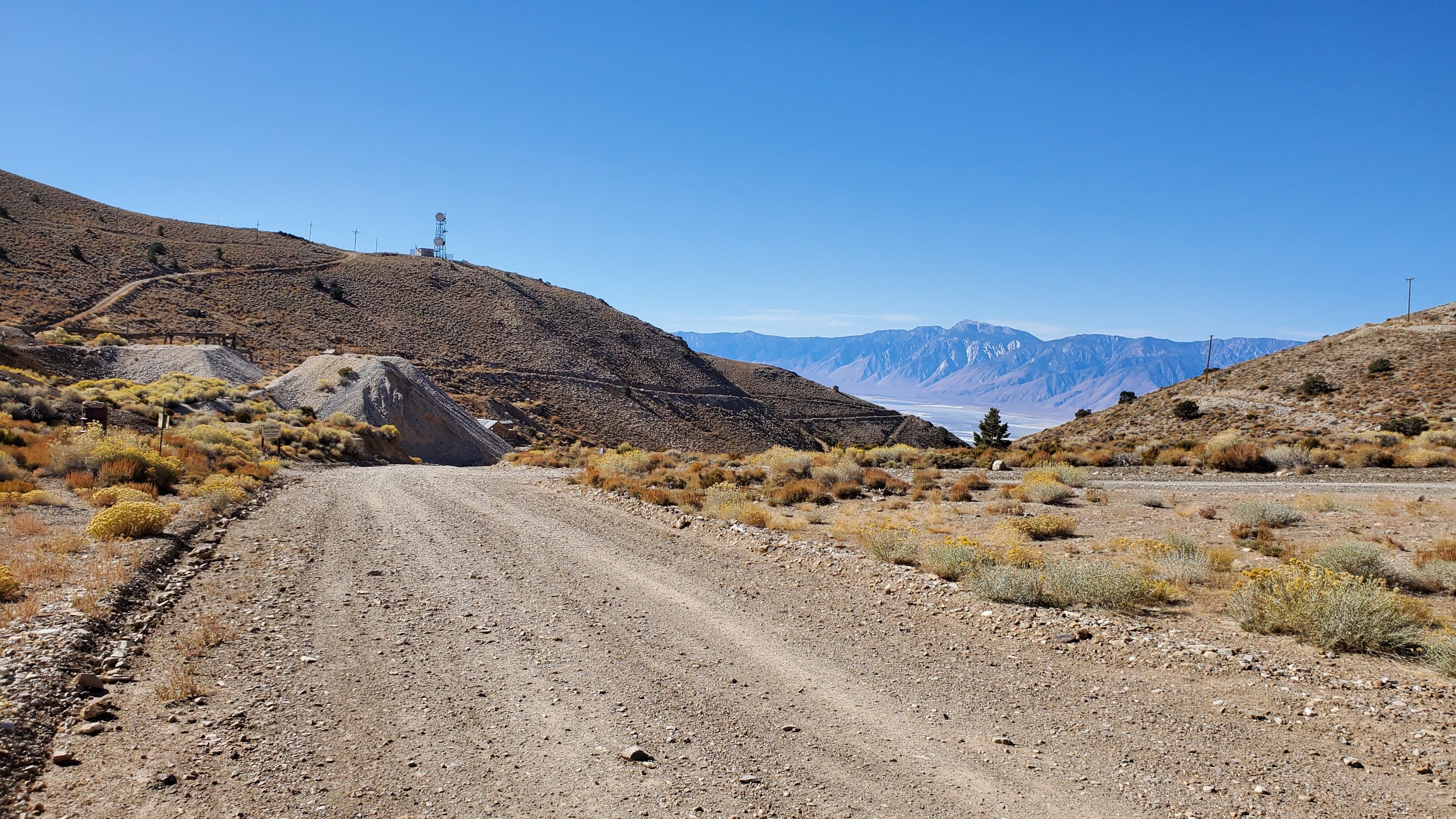
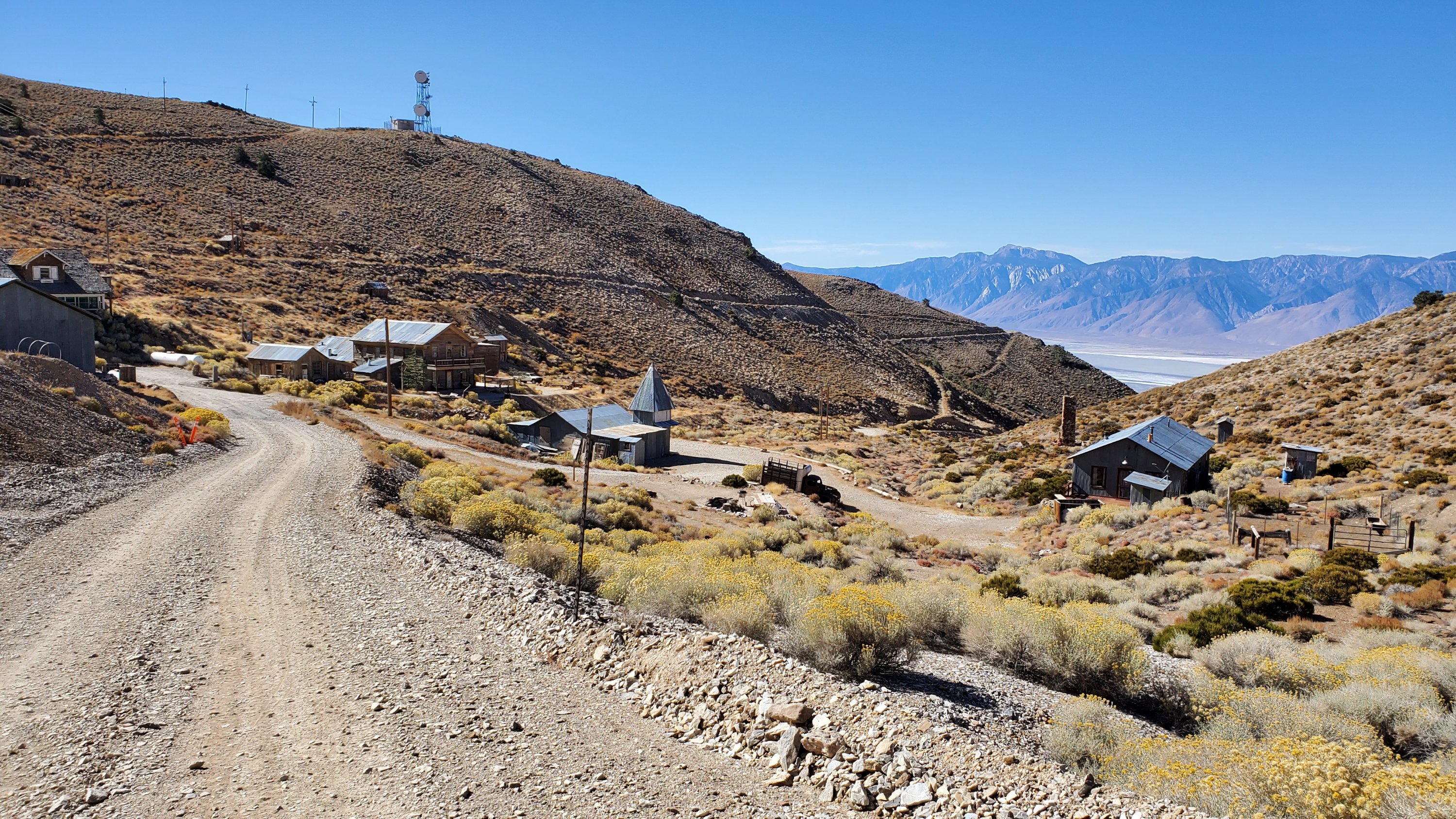
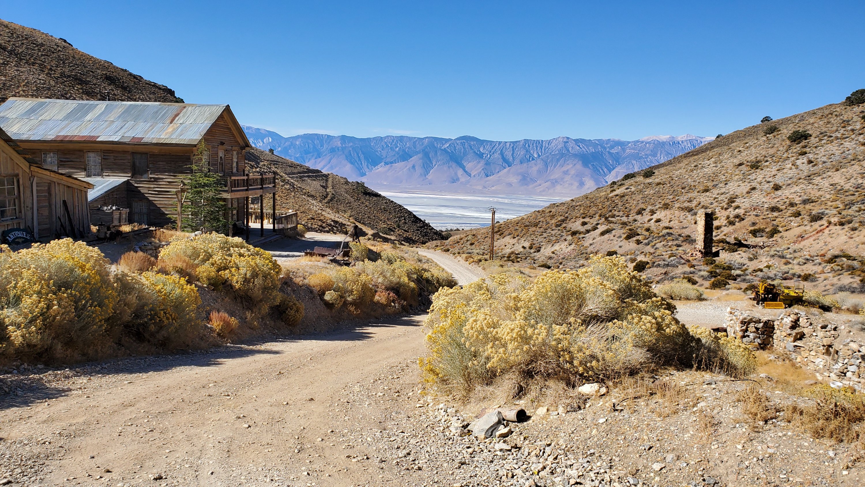
48 States: Day 28, Kernville California
48 States: Day 29, Home!